It’s summer – which means it’s hot. And Virginia has already gone through a couple stretches of really hot weather since the calendar flipped to summer. But there are parts of the state that are hotter than others…
“There’s been seminal studies that have shown that there is up to a 15-degree difference between neighborhoods within the city itself. And this is due to what’s called the urban heat island impact,” says Laura Thomas – Director of Sustainability for the city of Richmond.
The urban heat island effect essentially means that dense, populated city areas – like Richmond – can be significantly hotter than surrounding communities – which is especially true during the summer months.
“And that’s because of a lack of tree canopy, a lack of green infrastructure, [an] increase in impervious pavement, concrete and buildings – and you see this in any and every city in the country, but it’s particularly true here in Richmond where you see these very large discrepancies in temperature.”
So to help with this, the city of Richmond has been working on a number of strategies to help residents keep cool. Officials there have been working on what they call RVAgreen 2050 – Richmond’s climate equity action plan. It was adopted in 2023.
“Since then, the [Office of Sustainability] has been working on how we accomplish all 136 action items laid out within this plan with our small, little team,” Thomas says. “And I’m happy to say that since then, we’ve now achieved over 26% of that plan.”
One of the items that stuck out to me – a so-called “cool kit.”
“A cool kit is an assembly of parts that helps us understand what urban heat, what extreme heat is and what those impacts on our daily lives are,” she explains.
The kit lays out 25 evidence-based strategies that are meant to reduce surface temperatures in the urban and suburban areas across Richmond. That includes mini parks, cooling water features in neighborhoods, shade structures within building designs, solar panels for roofs and recommendations for heat-resistant materials.

Thomas offered up some examples of how Richmond residents, builders and contractors can use the kit.
“For example, if there’s a faith-based community organization and they have a large parking lot and they read through this cool kit and see our strategy on depaving and how you can actually turn that from a paved space into a small forest that will provide food, shade and shelter while cooling that part of the community.”
Depaving is Thomas’ favorite strategy in the kit.
“We’re actively removing harmful, can be harmful material in that depaving effort. And a lot of people don’t think about how intricate that is because once you’ve covered soil with pavement for decades and decades, there’s not a lot of nutrition of positive environmental value left in the soil,” she explains. “So, you have to add beneficial things back into it, and then you can do something like plant micro forests, which are super dense and provide so many benefits above and beyond just planting trees when you think about the right way to do it. It couples both reduction and heat efforts with ways to keep us more shaded and cool.”
Thomas says other communities across the country have adopted a similar, “cool kit” strategy. Tampa, Florida is one recent example.
“So, this is similar to some of the newer plans, but definitely something that folks in Virginia are just starting to get behind and just starting to implement in really strategic ways like this, so we’re excited to be on the leading edge here in the region.”
The kit will hopefully help Richmond become more heat-resilient amidst a continually warming climate. You can find the resource here – which includes ways for the public to pitch in as well.
Using satellites to track... river waves?

A group of researchers from NASA and Virginia Tech are using satellite data in a whole new way – to measure potentially hazardous waves in U.S. rivers that could lead to flooding.
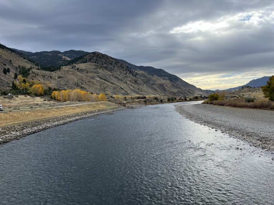
Researchers say river waves are different from ocean ones caused by wind and tides. Rainfall or seasonal snowmelt lead to river waves. While they are essential for organisms living in those bodies of water, they also can produce flooding – especially during extreme rainfall events.
Through a collaboration with the French space agency CNES (Centre National d’Études Spatiales), scientists at NASA and Tech tracked three waves that were likely caused by one of those events and a loosened ice jam.
There is currently no database of satellite data for river flood waves, but the study shows space-based observations could be helpful to hydrologists and engineers going forward.
Thanks for checking out this edition of CommonWx — the weather and climate newsletter from Radio IQ. Use this link to get the newsletter sent to your inbox.


