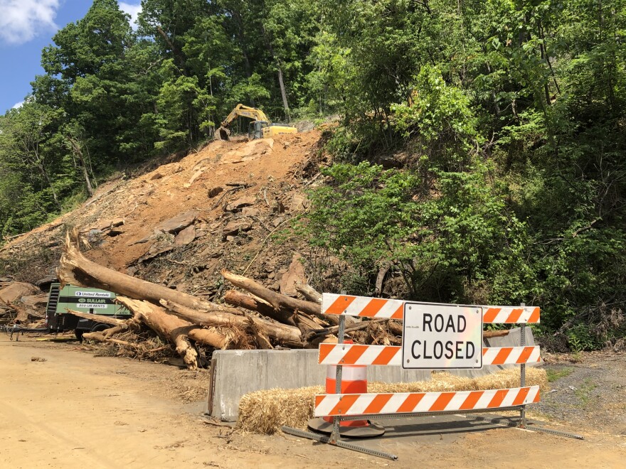
Earlier this month a rock slide closed one of the state’s main roads connecting communities east and west of the Blue Ridge Mountains. Crews are now working sun up to sun down, but the state says Route 250 over Afton Mountain won’t re-open until mid-June.
Sandy Hausman reports on why repairs are taking so long, and why we could be seeing many more slides in the future.
Rockfish Gap is the lowest point along the crest of the Blue Ridge in Central Virginia – a natural spot for Route 250 and I-64 to pass over the mountain. It’s also an area at high risk for rock slides like the one that began May 2nd.

“The material started to move, and some passersby noticed it and they called it in,” says Will Stowe, a project engineer with Virginia’s Department of Transportation. “We sent a maintenance person out here to look at it. He witnessed it starting to slide, and so we actually had to shut down the road right then with rocks actively falling.”
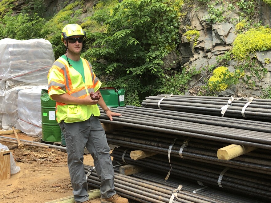
Soil, trees and huge boulders, weighing five or six tons now fill the westbound lane, and Stowe says the slope above must be stabilized before that stuff is removed. To do that, crews will pound 10-foot nails into the soil and rock, but that can’t be done from below.
“The equipment that we have for driving soil nails into the rock can only reach 20 feet high. The scarp line on this slide was about 80 feet high," Stowe explains. "We actually had to build an access road to the top of the slide so the equipment could get up there. That’s the scary part.”
Heavy equipment is now perched high above the site between 250 and I-64. Anne Witt, a geologist with the Virginia Department of Mines, Minerals and Energy, notes that rock in this area has weak spots where it’s prone to crack.
“A lot of people call it greenstone, because it’s kind of a forest green color, and right along 250 that weakness in the rock is oriented directly down at about 45-60 degrees towards the road.”
Add gravity and rain or snow melt to the mix, and you have a predictable scenario for slides which Witt says have happened here before and are actually common all over the state.
“You might have 10-50 in a normal time, hundreds in a bad year. If you have a hurricane like Camille which came through in 1969, that caused over 6,000 landslides in a day.”

It was those slides of trees, rocks, homes and vehicles that cost more than a hundred lives. Again, state geologist Anne Witt.
"In the Blue Ridge Mountains in general, storms that tend to cause debris flows – these really damaging, destructive landslides – happen every 10-15 years on average," she says. "Think of it like a flood on steroids. Those are the ones that go really fast – like 30 miles an hour, and they kill people."
In the age of climate change, with hurricanes becoming more common, Witt fears landslides will also proliferate, and they won’t be limited to the mountains.
“Some of the projects I’ve worked on have happened east of Richmond. There have been damaging landslides in Richmond itself, so they really can happen on any slope that’s over-steepened where you have too much water. Even a moderate slide could still take out your back yard, your house, a road.”
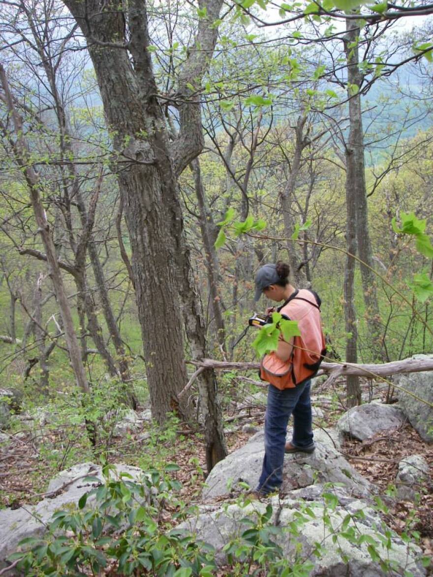
Witt is now producing a map of danger spots in Nelson and Albemarle Counties based on data produced through an aerial technology called LIDAR.
“A plane shoots lasers, and those lasers bounce back off of the ground surface and are picked-up by the detector on the plane, and you do this with billions of points, and you can see all the rocks and all the soil without the trees and grass in the way in incredible detail, and we now have LIDAR for the entire state of Virginia.”
It shows, among other things, where ancient and modern landslides have occurred – places where Witt says slides are likely to happen again.


